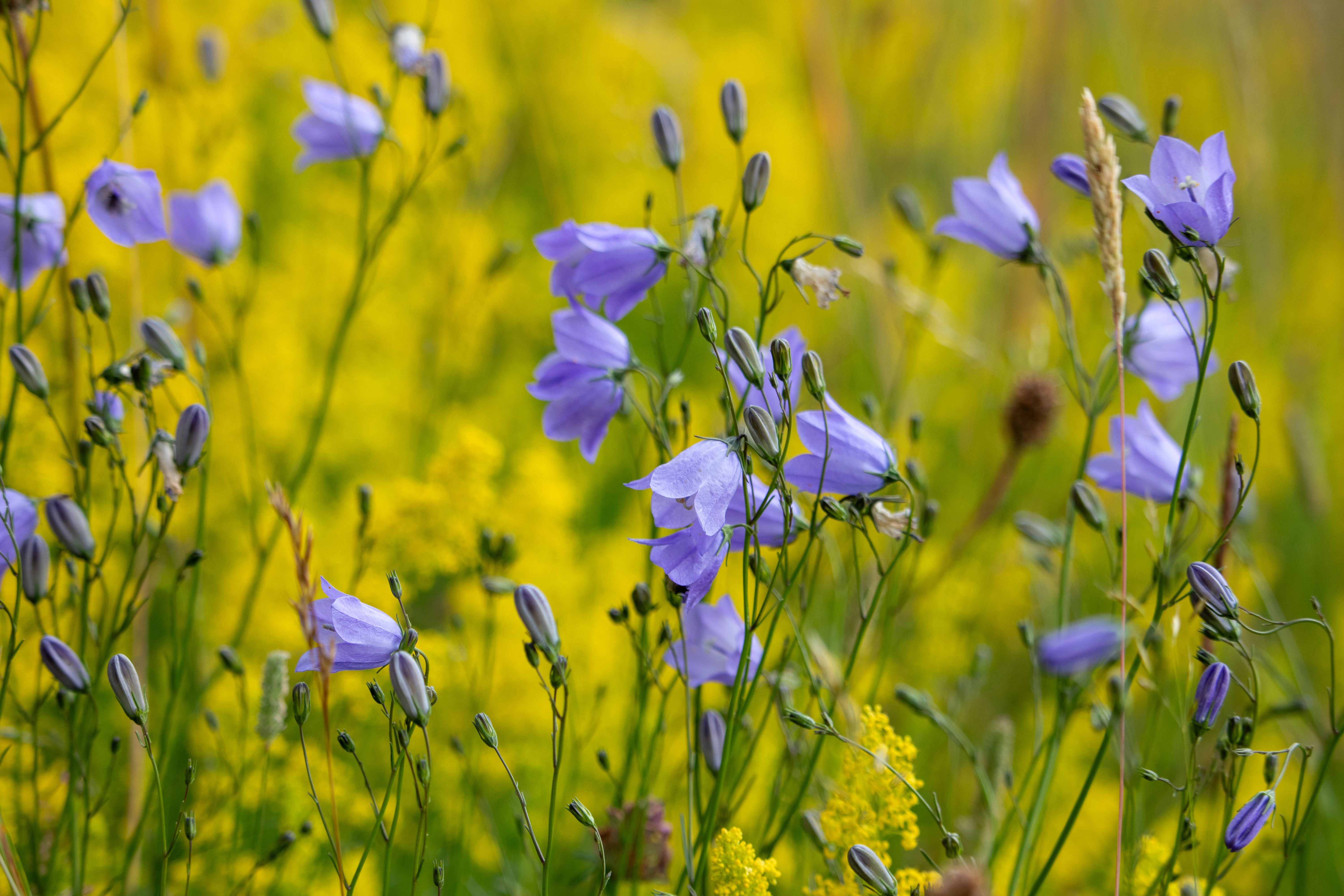
iBiodiversity allows greenspace identification

Using the iBiodiversity app, you can easily see greenspaces in Lincolnshire and analyze previous plant/wildlife. Using map with color coded areas identifying vegetation, iBiodiversity makes it easy for users to keep track of the ecosystem.
What is iBiodiversity about?

A great place to discover and view existing habitats and green spaces, and find out more information about them

Upload images of plant species and wildlife, get it identified and save your observations

Explore different species and greenspaces, and be educated on the best way to support biodiversity

Connect with fellow enthusiasts and become part of a community

Serves as a learning and research tool with existing data of species to improve biodiversity

How It Works

Upload discovered greenplaces, flora and wildlife using your camera

Compiles findings using datasets enabled by AI

Share with other users to enhance interest, research and appreciate Lincolnshire's biodiversity

Discover more about nature

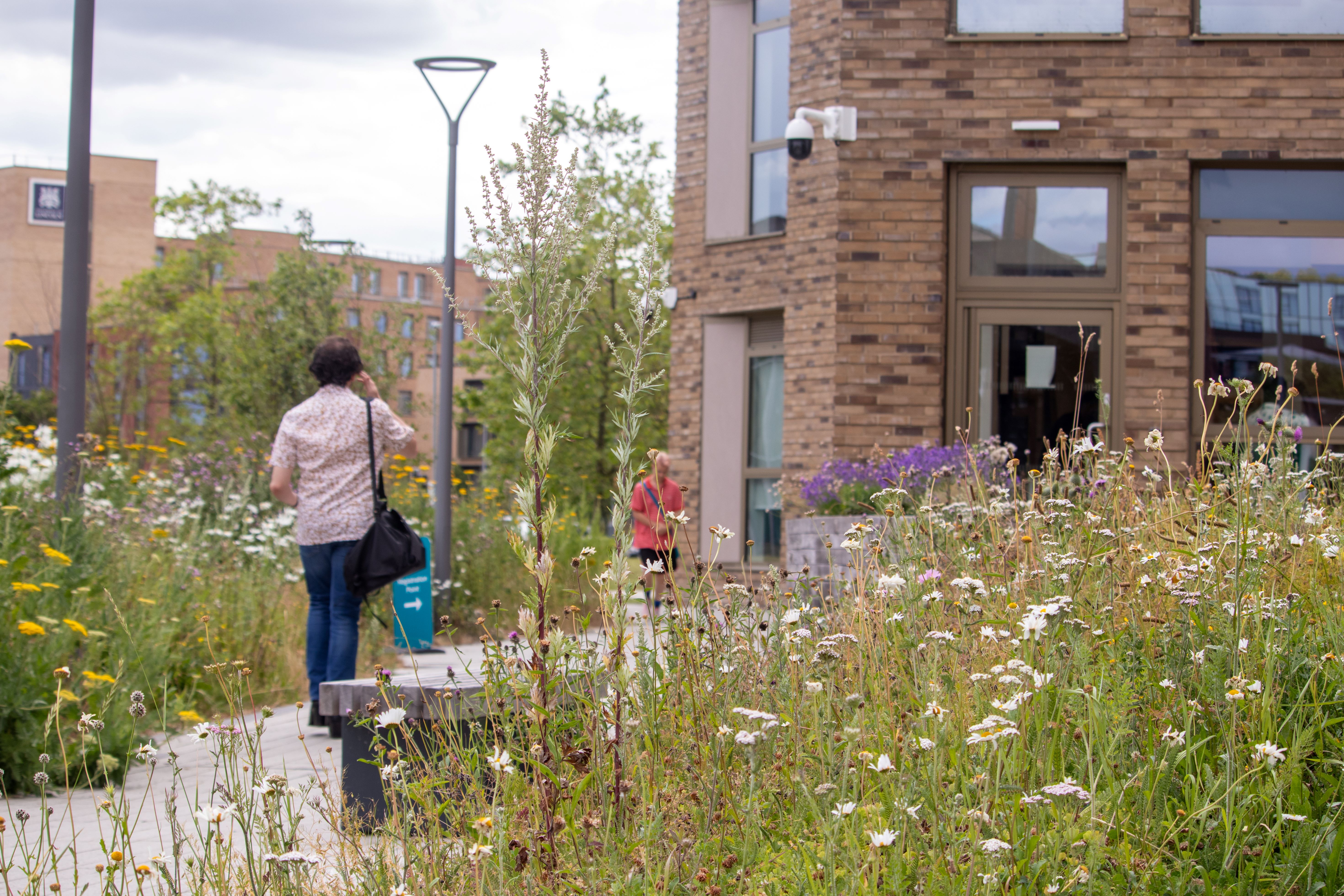
By providing a platform to upload pictures of plant species and to educate the public on the environments that they grow, we hope to encorage a community that is concious of our environment and can begin to help improve bio-diversity and habitat connectivity. Collectively benefiting the ecosystem on a city-wide scale across Lincoln.